Borderland
On the US-Mexico border, learning to see environmental damage in one of the weirdest places in the world
Document created 24 November 2017, last updated 24 November 2017

On our second trip the sky is clear. We pass a sign that says “elevation 4000 ft” and the road starts to tip the other way. We slide down the other side of the pass into a roughly cut canyon, the last real stretch of topography for the day. Here the boulders are more angular; the rock looks shattered. Across from us, the canyon walls look like pages in one of those Magic Eye illusion books in which busy, two-dimensional designs become three-dimensional if you stare at them just right.
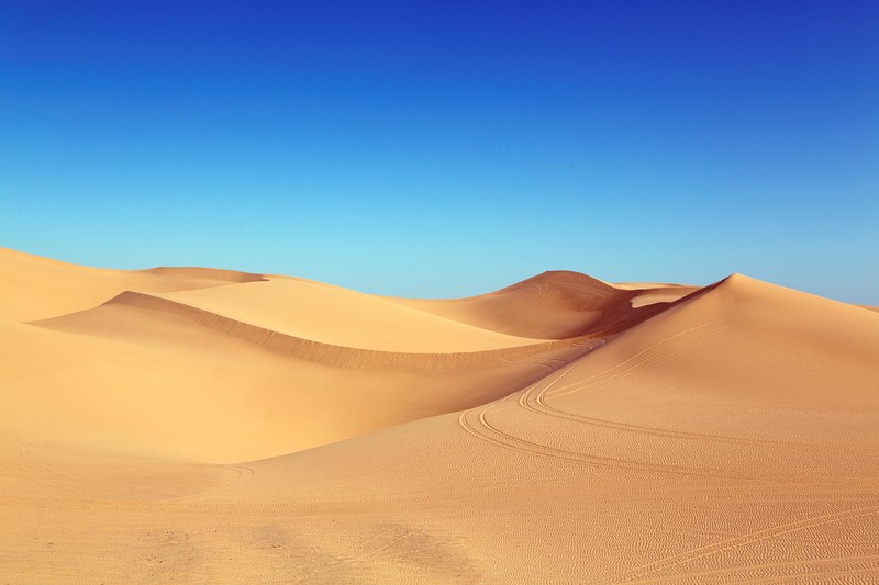
The freeway spits us out of the mountains and into the flat, ivory-coloured desert. This place seems too surreal to be part of any of our customary dimensions. It looks totally empty and uninhabited. I remember the first time we drove through here, six years ago. I was relieved to be finally out of the snow storm and then realized that the space I was in was so strange that only a blizzard could do as a rite of passage to enter it. We stopped in a rest area and I was stunned by how dry and blindingly bright this new world was. But mostly I saw that it was a space riven with contradictions. While everything around me was white dunes and glaring sun, across the parking area, inexplicably, a woman hosed down the pavement.
Comments
No comment available for this document
Ratings
Related documents Quick look
Below: the latest documents in
![]()
Open this category in Headlines for full navigation options and access to all categories and documents.
You can also use the navigation links located here in the right column.

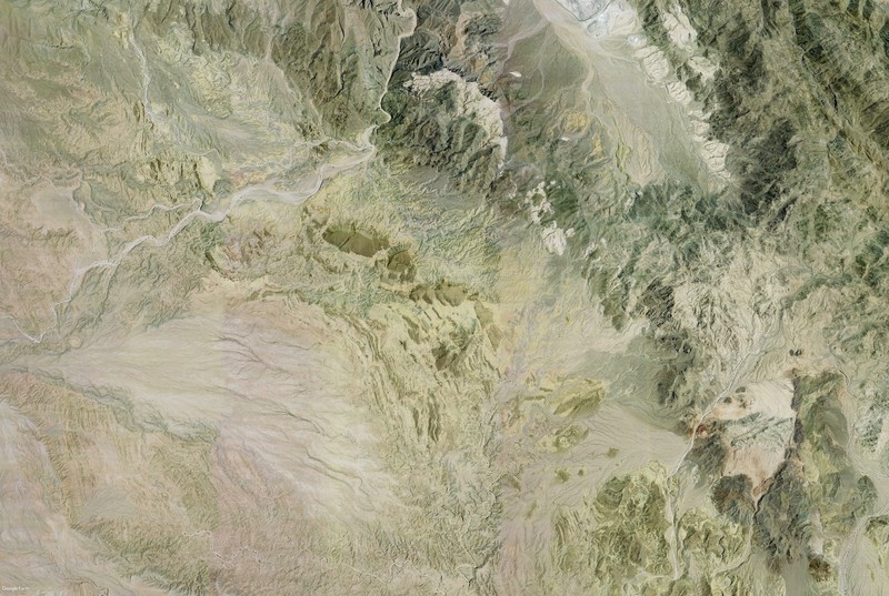
The mountains meet the desert in Imperial County. Google Earth image.

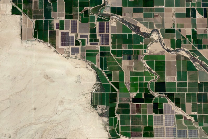
The sharp transition from desert to agriculture near El Centro, California. Google Earth image.

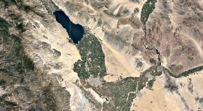
The Salton Sea and the Imperial Valley. Can you spot the US-Mexico border? Google Earth image.

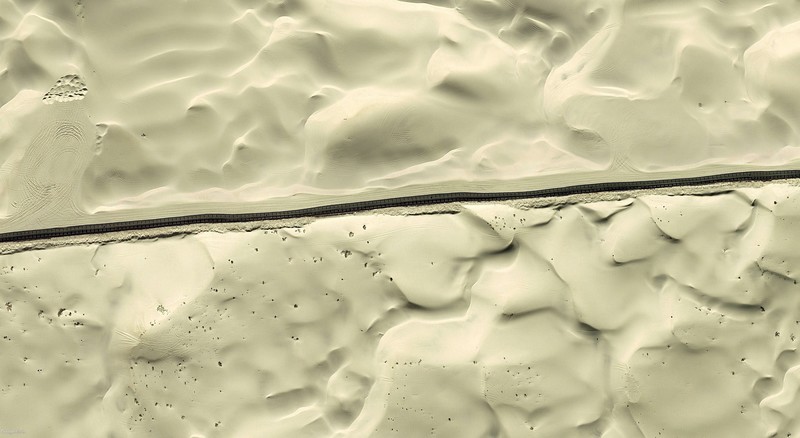
The US-Mexico border fence as it crosses the Algodones Dunes. Google Earth image.

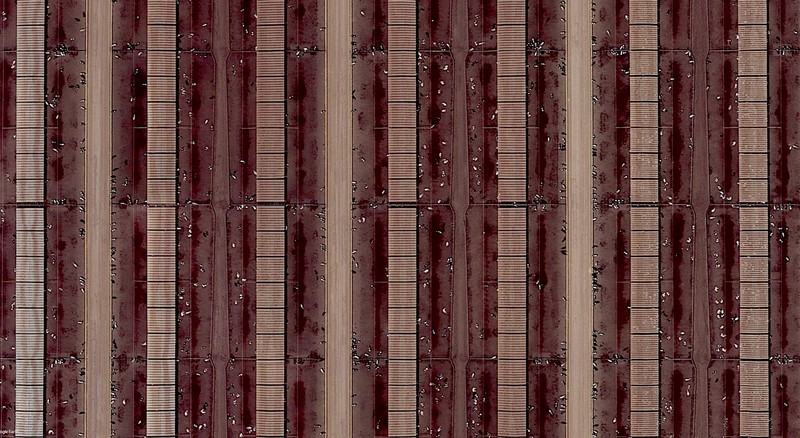
A dairy farm in south-western Arizona. Google Earth image.

×